places in Quelimane
Mozambique
Quelimane
Quelimane
Administrative Region:
Zambezia Province
population:
349 842
calling code:
+258-24
postcode:
2400
Location on the map of Mozambique
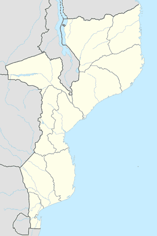
Quelimane
School
Escola Secundaria e Pre-Universitaria Patrice Lumumba
Quelimane
School
read more
Patrici Lumonba
Unnamed Road,, Quelimane
School
read more
My school
Quelimane
School
read more
Centro Infantil Estrelas Encantadas
Avenue Samora Machel, Quelimane
School
read more
Institute of Teacher Training
Quelimane
School
read more
INEFP, CFP Quelimane
Bairro do Padeiro, Quelimane
School
read more
Escola Secundária Amor De Deus
Quelimane
School
read more
Escola Primaria Do 1 e 2 Graus De Ivagalane
Quelimane
School
read more
Instituto Politécnico de Geologia e Ciências de Saúde
Quelimane
School
read more
Instituto Nacional De Seguraca Social
Quelimane
School
read more
Escola sao caros lwanga
Quelimane
School
read more
Escola Primária Do 1º e 2º Graus 17 de Setembro
Avenue Eduardo Mondlane, Quelimane
School
read more
Sampene
Avenue Eduardo Mondlane, Quelimane
School
read more
Elementary School Quelimane
Avenue Josina Machel, Quelimane
School
read more
Escola Secundaria Geral De Quelimane
Quelimane
School
read more
Bus station
Quelimane Bus Stand
Quelimane
Bus station
read more
Cafe
Cafe Saima
17°52'39.0"S 36°53'06., EN 1
Cafe
read more
Cafe
Avenue Samora Machel, Quelimane
Cafe
read more
Pastelaria Bibi
Avenue I de Julho, Quelimane
Cafe
read more
Pastelaria Delicias
Quelimane
Cafe
read more
Clothing store
Amisse Jose Jorge
Quelimane
Clothing store
read more
Gas station
Gas Station
Avenue Samora Machel, Quelimane
Gas station
read more
BOMBAS PETROMOC MKL
Quelimane
Gas station
read more
Gas Station
Avenue 7 de Setembro, Quelimane
Gas station
read more
Bombas Petromoc
Quelimane
Gas station
read more
Toyota De Mocambique
EN 470, Quelimane
Gas station
read more
📑
Quelimane all categories
Administrative area level 2
Atm
Bank
Bar
Bus station
Cafe
Car rental
Church
City hall
Clothing store
Electronics store
Furniture store
Gas station
Grocery or supermarket
Hardware store
Health
Hospital
Library
Local government office
Locality
Lodging
Neighborhood
Park
Pharmacy
Point of interest
Police
Post office
Premise
Restaurant
Route
School
Shopping mall
Store
Supermarket
Transit station
University
↑