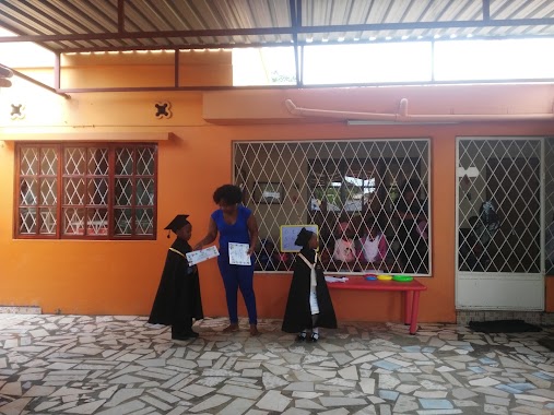
School nearby Centro Infantil Contos De Fadas
Mozambique
School nearby Centro Infantil Contos De Fadas
Centro Infantil Contos De Fadas
Matola, Mosambik
contacts phone
:
+258 84 676 2215
Latitude:
-25.9117525
, Longitude:
32.4734166
larger map & directions
read more
nearest School
135 m
Adventist College of Freedom
Rua de Chockwe nr 814 Liberdade Machava, Matola
School
read more
651 m
Escola Primaria Completa da Liberdade
Mozambique
School
read more
685 m
Escola Comunitaria 15 de Janeiro
Mozambique
School
read more
820 m
Escola Secundária da Liberdade
Unnamed Road, Maputo
School
read more
1.551 km
Escola Do Partido
Matola
School
read more
1.551 km
Escola Secundaria de Malhampsene
Matola
School
read more
1.551 km
Escola Secundaria Daatola
Matola
School
read more
1.551 km
Escola Secundaria Da Machava Sede
Matola
School
read more
1.551 km
Escola Da Frelimo. Matola
Unnamed Road, Matola
School
read more
1.551 km
Calisto Bié
Matola
School
read more
1.697 km
Instituto Superior De Artes E Cultura
Machava
School
read more
1.729 km
Bliss School
Matola
School
read more
1.741 km
Escola Secundaria de Bedene
Matola
School
read more
1.955 km
Externato Junica
Matola
School
read more
2.087 km
Direcção Provinvial De Trabalho
Matola
School
read more
2.122 km
Instituto Superior de Estudos de Defesa Tenente-General Armando Emílio Guebuza
Unnamed Road, Marracuene
School
read more
2.218 km
Little School of Community Tsalala
Mozambique
School
read more
2.425 km
May 3
Matola
School
read more
2.693 km
Centro De Formação Jurídica e Judiciária
Matola
School
read more
2.727 km
Centro de Formação de Quadros
Matola
School
read more
2.876 km
Instituto Politecnico
Matola
School
read more
2.889 km
Hillcrest International School Mozambique
Unnamed Road, Maputo
School
read more
3.073 km
Complete Primary School Dignity
Matola
School
read more
3.176 km
Escola PrimáriaCompleta De Bunhiça
Mozambique
School
read more
3.216 km
Primary School Full of Sicwama
Mozambique
School
read more
📑
all categories
Accounting
Administrative area level 1
Administrative area level 2
Airport
Amusement park
Art gallery
Atm
Bakery
Bank
Bar
Beauty salon
Bicycle store
Book store
Bowling alley
Bus station
Cafe
Campground
Car dealer
Car rental
Car repair
Car wash
Casino
Cemetery
Church
City hall
Clothing store
Convenience store
Courthouse
Dentist
Department store
Doctor
Electrician
Electronics store
Embassy
Finance
Fire station
Food
Funeral home
Furniture store
Gas station
General contractor
Grocery or supermarket
Gym
Hair care
Hardware store
Health
Hindu Temple
Home goods store
Hospital
Insurance agency
Laundry
Lawyer
Library
Liquor store
Local government office
Locality
Lodging
Meal delivery
Meal takeaway
Mosque
Movie theater
Moving company
Museum
Natural feature
Neighborhood
Night club
Park
Parking
Pet store
Pharmacy
Place of worship
Point of interest
Police
Post office
Premise
Real estate agency
Restaurant
Roofing contractor
Route
School
Shoe store
Shopping mall
Spa
Stadium
Storage
Store
Supermarket
Taxi stand
Train station
Transit station
Travel agency
University
Veterinary care
sublocality level 1
↑